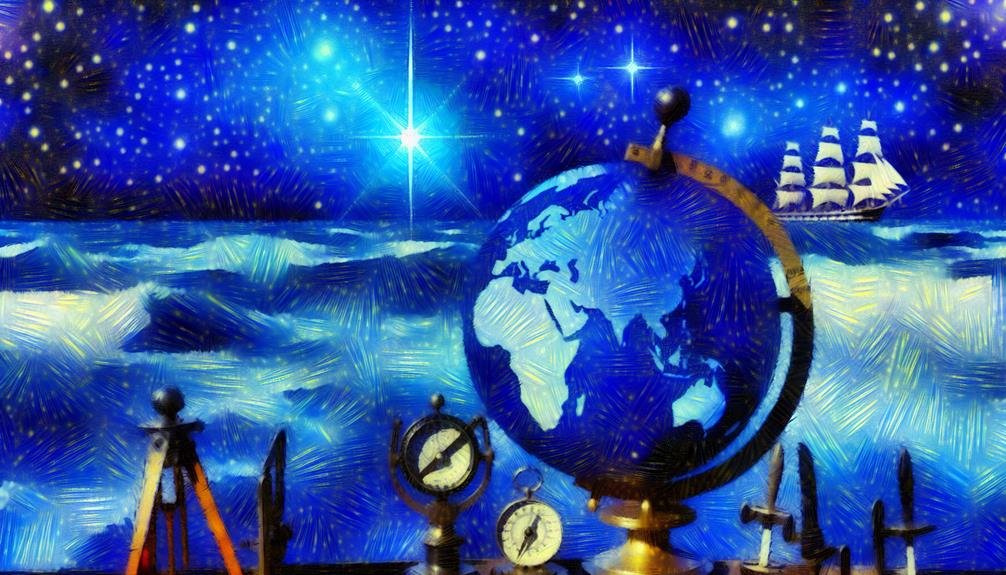
The Mercator projection excels in accurately showing direction and angles for navigational purposes, preserving straight lines and accurately representing shapes and locations. However, it introduces size and distance distortions, particularly near the poles, impacting perception of scale and balance. Widely used in navigation and maritime charts, it simplifies understanding longitude and latitude, yet distorts the sizes and shapes of landmasses, reinforcing colonial-era biases. This projection offers a nuanced mix of benefits and drawbacks, making it essential to assess its implications carefully.
Takeaways
- Accurately represents direction and bearing for navigation.
- Widely used in maritime navigation for efficient route planning.
- Distorts sizes and shapes of land masses, especially near poles.
- Maintains straight lines and angles, aiding in navigation precision.
- Misleads on true scale and relationships, especially in polar regions.
Advantages of Mercator Projection
One of the primary benefits of the Mercator Projection lies in its ability to accurately depict direction and angular relationships on a map. This characteristic makes it particularly useful for navigational purposes, as it preserves straight lines, which are lines of constant true bearing, as straight lines on the map.
Sailors and pilots often favor the Mercator Projection due to its capability to represent accurate bearings between locations, facilitating easier route planning and navigation across long distances.
Moreover, the Mercator Projection is advantageous for displaying regions near the poles in a more extended format, making it easier to see details in high-latitude areas. This feature is valuable for activities such as Arctic and Antarctic exploration, where traditional projections may greatly distort these critical regions.
Accurate Representation of Shapes and Directions
The Mercator Projection excels in providing an accurate representation of shapes and directions on a map, making it a valuable tool for various navigational and exploratory endeavors. One of the key strengths of the Mercator Projection is its ability to preserve angles and bearings. This means that straight lines on a Mercator map represent true compass bearings, making it easier for navigators to plot courses accurately.
The projection's conformality confirms that shapes of landmasses and features are depicted correctly, aiding in recognizing coastlines and other geographical elements with precision.
Furthermore, the Mercator Projection's emphasis on maintaining directionality is particularly beneficial for marine navigation. Sailors and mariners rely on the projection due to its accurate portrayal of constant compass bearings as straight lines. This feature simplifies route planning and helps in avoiding obstacles or hazards during voyages.
While the Mercator Projection's focus on shape and direction accuracy is advantageous for navigation purposes, it also leads to distortions in area and distance representation, which will be addressed in the subsequent discussion.
Distortion of Size and Distance
Distortions in the Mercator Projection result in significant inaccuracies in the representation of both size and distance on a map. One of the most well-known distortions is the exaggeration of areas as you move towards the poles. This means that countries located closer to the equator appear much smaller than they actually are, while those near the poles seem much larger. For example, Greenland appears similar in size to Africa on a Mercator map, when in reality Africa is about 14 times larger.
Moreover, the Mercator Projection distorts distances, particularly near the poles. This distortion leads to inaccuracies in measuring distances between two points, making it challenging to estimate travel times or understand the actual proximity of locations. Navigational routes may appear shorter than they are in reality, impacting planning and logistics.
While the Mercator Projection excels in preserving shapes and directions, its inherent distortion of size and distance can mislead map readers, especially when trying to grasp the true scale and relationships between different regions on Earth.
Useful for Navigation and Marine Charts
The Mercator Projection's usefulness for navigation and marine charts lies in its ability to accurately represent direction and bearing, aiding in efficient route planning and travel.
However, this projection introduces significant distortion near the poles, affecting the portrayal of landmasses in these regions.
Despite this limitation, the Mercator Projection remains an essential tool for creating detailed and practical marine charts used by sailors and navigators worldwide.
Navigation Accuracy Benefits
Enhancing direction precision and aiding in the creation of accurate marine charts are significant advantages of utilizing the Mercator projection. By representing lines of constant true direction as straight lines, Mercator projections simplify direction by allowing sailors to plot a course as a straight line on the map, which corresponds to a constant compass bearing in reality. This aids in determining the shortest route between two points, making direction more efficient and safer. Additionally, Mercator projections are commonly used in the creation of marine charts due to their ability to accurately depict coastlines, shorelines, and other marine features.
| Direction Accuracy Benefits of Mercator Projection | Description |
|---|---|
| Straight Lines Represent Constant True Direction | Facilitates plotting straight courses on maps, corresponding to constant compass bearings in reality. |
| Efficient Determination of Shortest Routes | Helps in finding the most direct paths between two points. |
| Accurate Representation of Coastlines | Useful for creating precise marine charts. |
| Enhanced Safety in Direction | Aids sailors in directing waters more efficiently and safely. |
Distortion Near Poles
Notable in the Mercator projection is the significant distortion near the poles, a characteristic with implications for navigation and marine chart creation. As the Mercator projection stretches the areas near the poles to an exaggerated size, it results in a distortion that becomes more pronounced the further one moves towards the poles. This distortion causes landmasses to appear larger than they actually are, leading to a misrepresentation of the true size and shape of countries located in high latitudes.
For navigation purposes, this distortion near the poles can be problematic, especially for long-distance voyages that traverse both equatorial and polar regions. Mariners relying solely on Mercator charts may underestimate distances and encounter challenges in accurately estimating travel times.
To mitigate this issue, navigators often switch to different map projections or utilize additional navigational tools when approaching polar regions. Despite this limitation, the Mercator projection remains popular for navigation due to its ability to represent lines of constant course as straight lines, simplifying navigation calculations on the open sea.
Marine Chart Applications
Marine chart applications play a pivotal role in facilitating accurate navigation and the creation of detailed marine charts for maritime activities. These applications are essential tools used by sailors, navigators, and marine professionals to plot routes, determine positions, and ensure safe passage on the seas.
By utilizing marine chart applications, users can access up-to-date information on water depths, navigational hazards, coastal features, and other relevant data necessary for safe and effective navigation.
One of the significant advantages of marine chart applications is their ability to provide real-time updates and accurate positioning information through GPS technology. This feature enables mariners to navigate with precision, avoid potential dangers, and reach their destinations in a timely manner.
Additionally, marine chart applications allow for the customization of charts based on specific needs, preferences, and vessel requirements, enhancing the overall navigational experience.
Criticisms of Mercator Projection
Critiques of the Mercator projection arise mainly from its distortion of landmass sizes, particularly at higher latitudes. The Mercator projection exaggerates the sizes of land masses as they move towards the poles, leading to a disproportionate representation of countries and continents.
For example, Greenland appears larger than South America on a Mercator map, even though in reality South America is almost eight times larger. This distortion can perpetuate misconceptions about the true size and scale of different regions globally. Critics argue that this misrepresentation reinforces colonial-era perspectives that prioritize northern, mainly European, countries over equatorial and southern regions.
Additionally, the Mercator projection distorts the relative distances between countries, making it challenging to accurately gauge travel distances or understand spatial relationships. As a result, many cartographers and geographers advocate for the use of alternative map projections that offer a more accurate representation of the world's landmasses and promote a more equitable global perspective.
Impact on Perception of the World
The Mercator projection greatly influences individuals' perceptions of the world by distorting the sizes and shapes of land masses, ultimately shaping how people interpret global geography. This projection exaggerates the sizes of land areas as they move towards the poles, making countries near the equator appear much smaller than they are in reality. Consequently, regions like Africa and South America can seem diminutive compared to countries in higher latitudes such as Greenland. This distortion can lead to misconceptions about the scale and relative importance of different nations and continents.
| Distortion of Perception | Description | Example |
|---|---|---|
| Exaggerates Polar Areas | Polar regions appear larger than they are | Greenland appears similar in size to Africa |
| Minimizes Equatorial Regions | Equatorial areas seem smaller than their actual size | Africa seems relatively small compared to Europe |
| Alters Perception of Global Balance | Skews the perceived importance of countries | Size distortion can impact geopolitical perspectives |
Frequently Asked Questions
How Does the Mercator Projection Affect Climate Data Analysis?
The Mercator projection, due to its distortion of landmasses, can impact climate data analysis by skewing spatial relationships and exaggerating certain regions. This distortion may lead to inaccuracies in climate modeling and predictions.
Are There Any Alternative Map Projections to Mercator?
Yes, there are several alternative map projections to Mercator, such as the Gall-Peters projection, Robinson projection, and Winkel Tripel projection. Each projection aims to address specific distortions present in the Mercator projection.
Does Mercator Projection Impact Global Trade Routes Significantly?
The Mercator projection, with its distortion of landmasses, affects global trade routes by exaggerating the size of regions near the poles. This can influence navigation decisions and trade patterns, potentially impacting the efficiency of trade routes.
Is Mercator Projection Still Widely Used in Schools?
The Mercator projection, known for its distortions in representing landmasses, is still frequently used in schools for its simplicity and familiarity. However, its drawbacks in accurately depicting size and distances are increasingly recognized.
How Does Mercator Projection Influence Urban Planning Decisions?
The Mercator projection can influence urban planning decisions by distorting the size and shape of landmasses, potentially impacting the perception of distances and spatial relationships. Considerations such as scale accuracy are essential in informed planning processes.
Conclusion
To sum up, the Mercator projection offers an accurate representation of shapes and directions, making it useful for navigation and marine charts.
However, it also introduces distortion of size and distance, impacting the perception of the world.
While it serves its purpose in certain contexts, the Mercator projection has faced criticisms for its Eurocentric view and misrepresentation of global proportions.